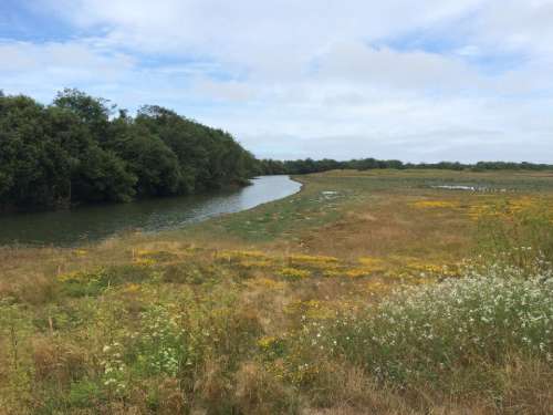
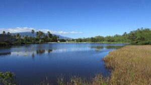
 H. T. Harvey & Associates assisted the Maui County Department of Planning with mapping wetlands and other aquatic features on the islands of Maui, Molokai, and Lanai. The project purpose was to meet requirements established by an amendment to the Maui County Code which addresses wetlands restoration and protection. The ordinance requires the preparation of a wetlands overlay map that will identify the approximate locations of existing and potential future wetlands or likely migration areas.
Our team of plant and wetland ecologists and GIS specialists developed a wetland determination model to spatially identify existing and potential future wetlands. Hawaii-based H. T. Harvey ecologists, led by project manager and senior botanist Shahin Ansari, conducted field surveys to ground truth model results. They also assisted with the public engagement process to incorporate community input and feedback into the new wetlands map. The new overlay map is intended to help guide property owners, land managers, and public agency planners make informed land-use decisions that minimize potential loss of wetland habitat values and functions.
This overlay will also help identify areas that could potentially serve as climate adaptation and project mitigation sites. The project represents the first comprehensive effort to map wetlands in Maui, Molokai and Lanai. Our team combined an innovative modeling system with advanced GIS capabilities to cover a range of habitats and habitat features.
Principal, Plant and Wetland Ecology
Add your email to our mailing list to receive occasional ecological news from us.
Submit Your Details